We have more accurate maps of the surface of Mars and the Moon than of the floor of our own ocean — less than a third of the seabed has been measured in real detail, meaning most of the largest landscape on the planet has never been surveyed up close b - Space Daily

What the report says
Space Daily reported that less than a third of Earth’s ocean floor has been mapped to modern standards, despite humanity having more detailed global elevation data for the Moon and Mars. At the International Hydrographic Organization’s Assembly in Monaco on April 20, 2026, the Nippon Foundation-GEBCO Seabed 2030 Project put the surveyed share at 28.7%, or about 104 million square kilometres. The project said nearly five million square kilometres had been added in the previous year, and GEBCO released its related 2026 grid on April 23.
The report contrasts seabed mapping with planetary surveys. Mars and the Moon have been measured globally by spacecraft laser altimeters, while Venus was extensively imaged by radar. Earth’s oceans present a different problem: seawater blocks the radar and laser methods that work in space, so detailed deep-ocean mapping generally depends on ships using multibeam sonar. That process can produce useful resolution but is slow because survey vessels must pass over the seafloor they are measuring.
Space Daily noted that complete-looking global seafloor maps already exist, but much of their coverage is modeled rather than directly measured. In unmapped areas, satellite altimetry can infer underwater mountains and ridges from small changes in sea-surface height caused by gravity, offering broad structural clues but not the same detail as ship-based sounding.
Recent satellite work, including data from the NASA-CNES SWOT mission discussed in a 2024 Science paper, has improved gravity-based views of abyssal terrain, but the article emphasized that this remains far coarser than direct surveys. The remaining gap matters for navigation, marine science, hazards, resource management and understanding the planet’s largest landscape.
Loading debate for this article…
Other publishers covering this story
No additional verified coverage is currently clustered with this report.
Related reporting
 Editorial: Silence fuels HIV. Let’s end stigma nowThe Observer
 Abolish the mandatory National Cleaning Day hypocrisyThe Independent Uganda
 Uganda Now Exports Ebola Expertise to DRC, Says AyumeNile Post
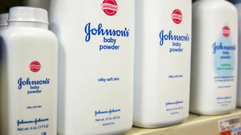 Johnson & Johnson offers up to $5.5bn to settle baby powder lawsuitsNile Post
 Uganda Officially Declared Ebola-FreeDokolo Post
DR. JEAN KASEYA: Hepatitis is the test of Africa’s health sovereignty - PML DailyPML Daily
Uganda Officially Declared Ebola-FreeDokolo Post
DR. JEAN KASEYA: Hepatitis is the test of Africa’s health sovereignty - PML DailyPML Daily