Mapping Israel’s 300 checkpoints: Where they are and how they work
What the report says
Al Jazeera reports that Israel has sealed off the occupied West Bank for a week, a closure ordered by Defence Minister Israel Katz on the military’s recommendation and set to last until Saturday. The restriction was imposed around the Jewish holiday of Sukkot and further limits Palestinian movement, including access to religious sites in occupied East Jerusalem and the West Bank.
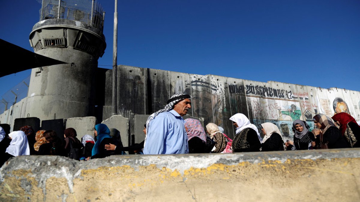
The article says the closure has added to an existing system of more than 300 Israeli checkpoints and barriers across the West Bank, which the UN says are among 925 obstacles affecting movement for 3.4 million Palestinians in the West Bank and East Jerusalem. Al Jazeera describes staffed checkpoints, partial checkpoints, road gates, closures, earth mounds and roadblocks, noting that many are frequently closed or only intermittently open.
Al Jazeera highlights several major checkpoints, including Qalandiya near Ramallah and East Jerusalem, Checkpoint 300 between Bethlehem and Jerusalem, Eyal near Qalqilya, Taybeh near Tulkarem and Tarqumiyah near Hebron. It says these barriers force longer routes for travel to work and school and can delay access to medical care.
The report also places the closure in a wider context of tightened restrictions since the Gaza war began in October 2023, including a sharp drop in the number of Palestinians able to work in Israel. More broadly, it points to the economic and mobility impact of Israel’s occupation and the expanding checkpoint network.
Loading debate for this article…
Other publishers covering this story
No additional verified coverage is currently clustered with this report.
Related reporting
 South Africa: At Least 27 People Killed in Separate South African Mass ShootingsAllAfrica
 Azeez Al-Shaair honours slain Palestinian sisters despite NFL sanctionsAl Jazeera
 South Africa: SA's Cancer Story - From the Intensity of the Rugby Field to a Golden Arrow Bus Ride Home On Which One Does Not CryAllAfrica
 Brazil’s Biggest Election Question?: Donald Trump’s Next MoveNew York Times World
 What We Saw in One Venezuelan Gold TownNew York Times World
 Trump Sparked a Gold Rush, and Venezuelan Gangs Take a Cut of ProfitNew York Times World