
Africa: As the UN Adopts an Equal World Map, Meet the Three Geographers Who Disputed How the Earth Was Charted 2000 Years Ago

What the report says
A Conversation Africa analysis republished by AllAfrica examines how world maps shape perceptions of Africa’s size and status. The piece is prompted by a UN decision on 4 September 2026 to endorse the Equal Earth Projection, a newer map designed to show continents in their relative proportions more accurately than the long-used Mercator projection. The article says the Mercator map, created in the 16th century and widely used for more than 200 years, makes areas near the poles appear larger than they are, which can leave Africa looking smaller than its actual scale.
The analysis notes that the new projection was developed in 2018 by cartographers Bojan Šavrič, Tom Patterson and Bernhard Jenny. It also reports that the Togo-led campaign for the change, backed by several African countries, argued that more accurate mapping matters because distorted depictions can reinforce the idea that Africa is politically or culturally marginal.
Beyond the UN decision, the article places the debate in historical context, describing earlier disagreements among Greek and Roman writers over how to divide and measure the inhabited world. It cites Herodotus, Strabo and Pliny the Elder as examples of ancient thinkers who linked geography, scale and power in different ways. The broader point is that mapmaking has long carried political meaning, and that the representation of Africa’s size continues to affect how the continent is seen globally.
Loading debate for this article…
Other publishers covering this story
No additional verified coverage is currently clustered with this report.
Related reporting
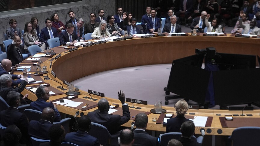 UN Security Council renews peacekeeping mission's mandate in Central African RepublicAnadolu Agency Africa
 Mississippi elects first black senator in nearly 150 yearsAl Jazeera
 Iran says it targeted US radar site in BahrainAl Jazeera
 Gaza surgeon films aftermath of Israeli strikeAl Jazeera
 Spanish court suspends far-right group over alleged hate crimesAl Jazeera
 North Korean hackers used fake video calls in $400m crypto hack, says FBIBBC World News